 Quick Ride Summary:
 A short trail with a little of everything – Saturday, July 11th, 2009. The trail surface is Crusher Fine, well packed most of the time, and with some concrete trail surface in areas subject to erosion and for underpasses. The trail is seven miles long. At the east end it starts in Lafayette, CO., passes through Louisville, CO., and ends in Superior, CO. For a Saturday, the trail was not heavily used. The elevation gain over the 7 miles was 344 feet, an average grade of just under one percent.

All of the distances in the write-up are from the East end of the trail at 120th street. As always, you may click on the graphics and pictures to render them full sized and then use your browser’s back arrow to return to the blog. There is also a
Links Section at the end of the article with links to all my pictures of this trail and links to other relevant websites.

Within 2 tenths of a mile the trail passed under some railroad tracks and then immediately over the creek. I stopped on the bridge over the creek to take pictures of the creek and darned if a vehicle didn’t go by on the railroad tracks. It was one of those pickup trucks with the special adapters for riding on rails.
At mile .5 the trail enters an area called Raptors Rapture. This is advertised as an area where Hawks, Eagles and other birds of prey nest and live.

I looked up the definition of
raptor and found that there is some disagreement about specifics, but in essence a raptor is a bird of prey which uses its large talons to capture and sometimes kill its prey. The owl is also considered a raptor.
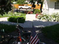
At mile 1.1 the trail passes the trailhead where I parked my car. There are picnic tables and a restroom.
The Lafayette section of the trail is my favorite. The trail is wide, hard packed, with excellent maintenance, and gives a more rural experience along the creek.
In the L
ouisville section the trail is softer (more rolling resistance) with good maintenance, often more narrow and passes through neighborhood streets at times.

At mile 2.70 the trail leaves the creek ( to go around an area where right of way along the creek was not available) and climbs a not insignificant hill. At the top of the hill (Mile 3.21) are some amenities, a trail head, and a very nice view of the Rocky Mountains. The trail drops off of the hill and down into Louisville.

Across the street from the trail, at mile 4.21, is the Louisville Community Park. I didn’t go over to look, but it appeared to be quite nice.
At mile 4.5 the trail arrives back at the creek as it enters the Dutch Creek Open Space.

Passing through the open space and along the side of a golf course the trail enters a neighborhood at mile 5.3
At mile 6 the trail goes back to soft surface and at mile 7 it terminates at Grasso Park. This is currently the end of the trail.
 LINKS:All photos of this rideBoulder County Coal Creek Page
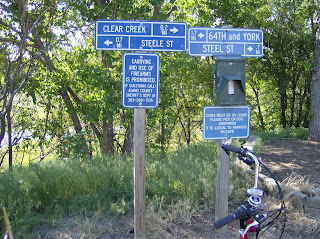
 This morning I took a ride up the Farmers Highline Canal Trail to the Westminster Rec. Center, picked up the Big Dry Creek Trail and rode to Standley Lake. As I reached the base of the Dam I was confronted by this sign:


 I started on the Platte River Trail at 70


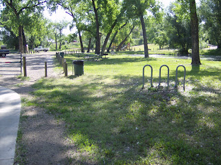 Just west of Wadsworth the trail pass a small isolated park that is had to find from the road and thus is not overrun with people. The area has some mature trees and is quite nice. Mature trees are uncommon on

 At mile 14.5 the trail passes under I70 and heads to Golden on a course parallel to highway 58. Much of this portion of the trail has been relocated and is new. The lush trees are left behind and the flora more grassy.
 The trail begins some serious climbing and in about 3 miles tops out where I took this picture.


